Adobe Illustrator 形式の地図データ販売
当サイトでは、商業印刷にも使えるAdobe Illustrator(CS ver.以上)データ形式の世界地図を販売しております。
ベクトルデータですので、拡大・縮小・変形等の加工が自由自在です。
一国のみのバラ売りはありません。
こちらのデータを活用するためには、Adobe Illustrator(CS ver.以上)が、あらかじめパソコンにインストールされている必要があります。
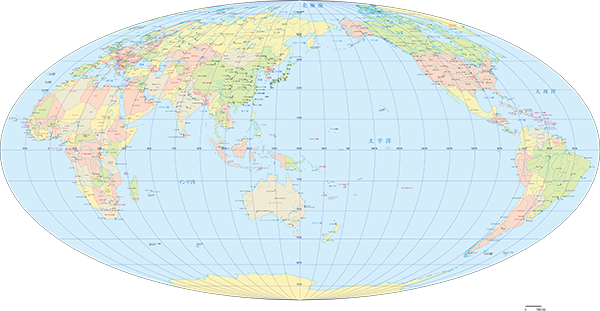
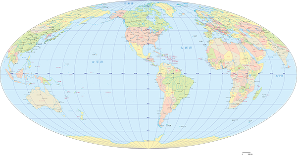
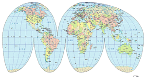
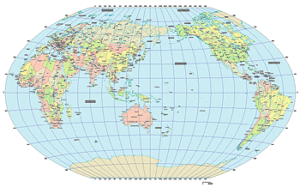
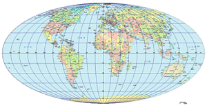
グード図法世界地図 (500円)
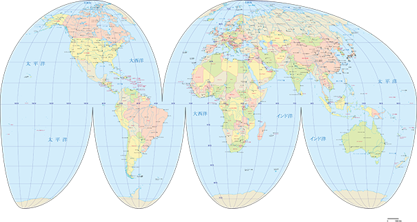
サイズ:721 x 360mm
Adobe Illustrator(CS ver.以上)
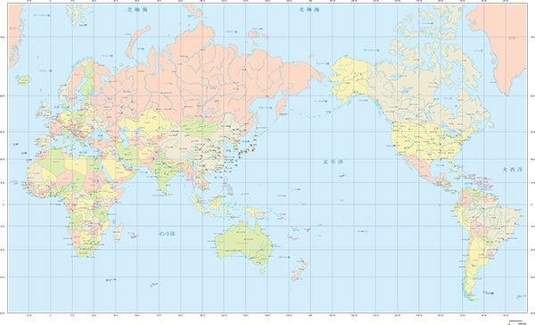
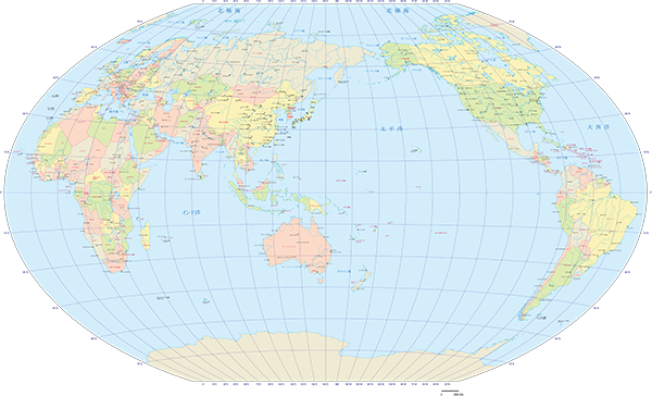
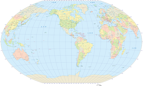
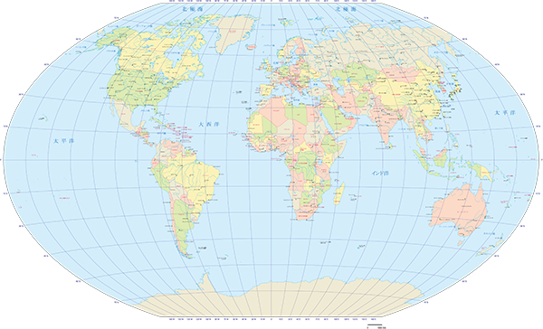
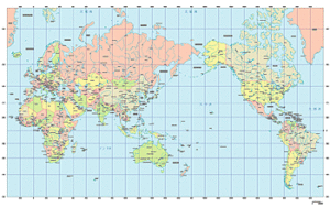
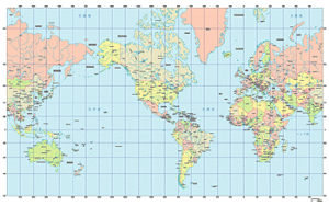
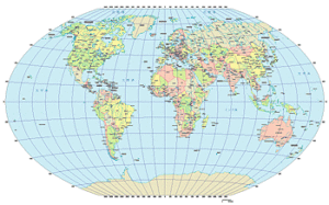
ミラー図法世界地図 (1,200円)
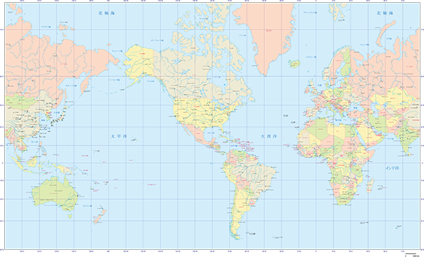
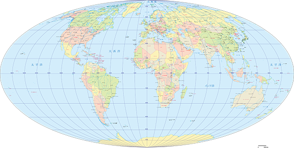
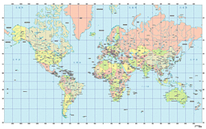
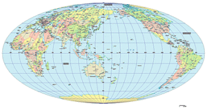
ヴィンケル図法世界地図 (1,200円)
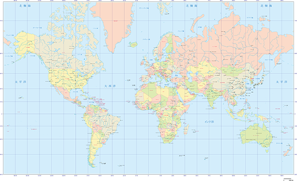
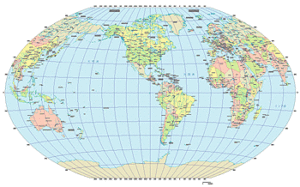
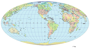
モルワイデ図法世界地図 (1,200円)
世界地図全部 (グード図法・ミラー図法・ヴィンケル図法・モルワイデ図法) (3,800円)
 |
||
 |
 |
 |
 |
 |
 |
 |
 |
 |
グード図法・ミラー図法(日本中心、アメリカ中心、ヨーロッパ中心)・ヴィンケル図法(日本中心、アメリカ中心、ヨーロッパ中心)・モルワイデ図法(日本中心、アメリカ中心、ヨーロッパ中心)計10種類
Adobe Illustrator(CS ver.以上)
各地域地図
アフリカ地域地図 (300円)
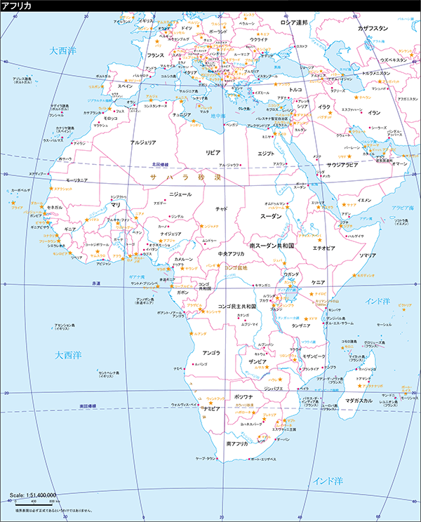
サイズ:178 x 220.5mm
Adobe Illustrator(CS ver.以上)
アジア地域地図 (300円)
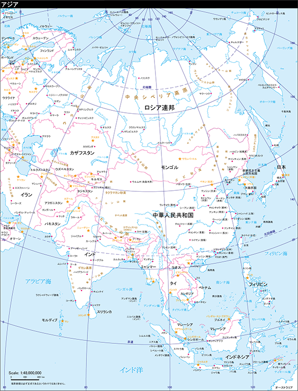
サイズ:178 x 233mm
Adobe Illustrator(CS ver.以上)
ヨーロッパ地域地図 (300円)
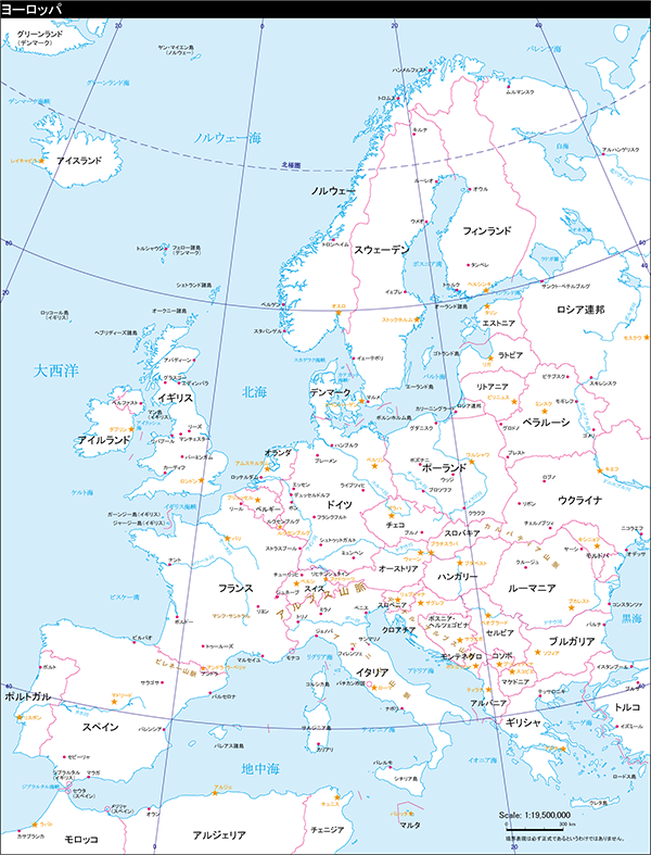
サイズ:178 x 233mm
Adobe Illustrator(CS ver.以上)
中東地域地図 (300円)
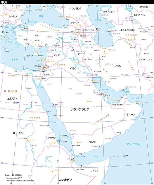
サイズ:178 x 214mm
Adobe Illustrator(CS ver.以上)
東南アジア地域地図 (300円)
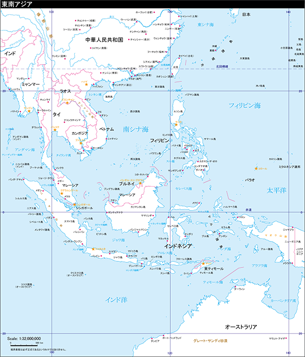
サイズ:177.5 x 208mm
Adobe Illustrator(CS ver.以上)
北アメリカ地域地図 (300円)
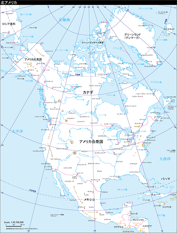
サイズ:178 x 233mm
Adobe Illustrator(CS ver.以上)
中部アメリカ地域地図 (300円)
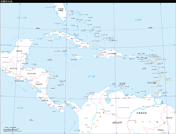
サイズ:305 x 233mm
Adobe Illustrator(CS ver.以上)
南アメリカ地域地図 (300円)
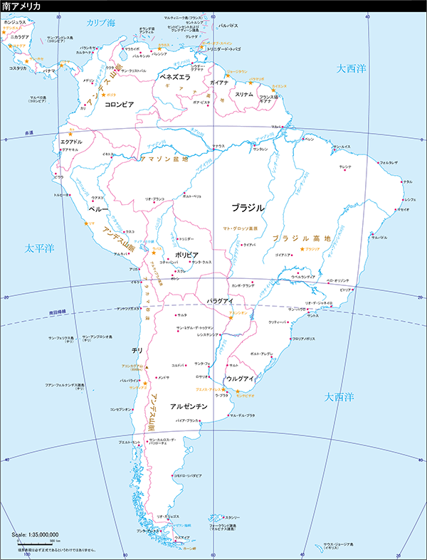
サイズ:178 x 233mm
Adobe Illustrator(CS ver.以上)
オセアニア地域地図 (300円)
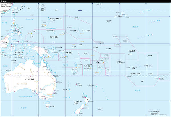
サイズ:340 x 233mm
Adobe Illustrator(CS ver.以上)
南極地域地図 (300円)
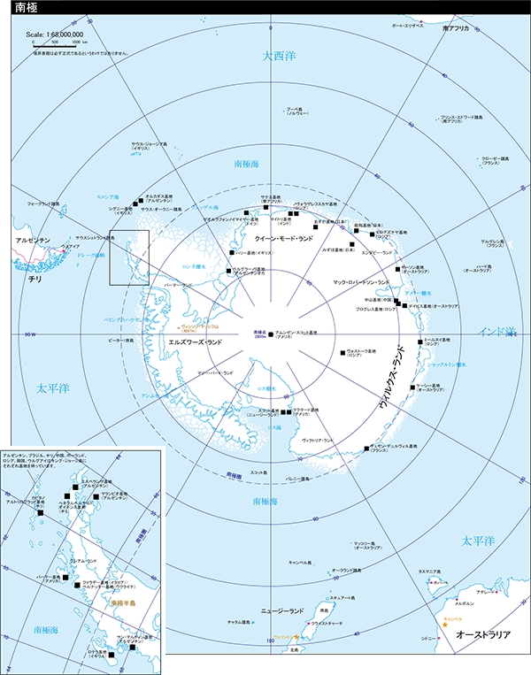
サイズ:177 x 223mm(左下の別窓を含まない大きさ)
Adobe Illustrator(CS ver.以上)
北極地域地図 (300円)
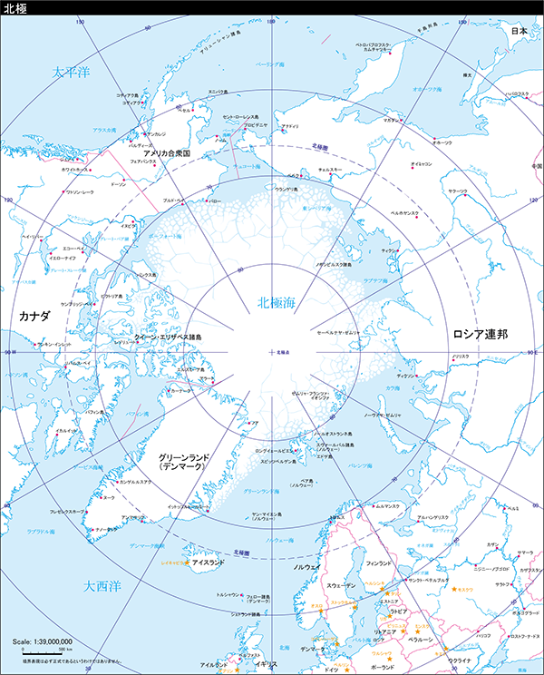
サイズ:178 x 220.5mm
Adobe Illustrator(CS ver.以上)
地域地図全部まとめて(2,800円)
|
|
|
|
|
|
|
|
|
|
|
データ容量:合計12.4MB
Adobe Illustrator(CS ver.以上)